Earthquake Magnitude vs Intensity: What Changes by Location?
Magnitude describes an earthquake at its source. Intensity describes the shaking experienced at a particular place. A single earthquake can produce a wide range of local intensities. The number on an event marker therefore does not tell you exactly what happened in every town around it.
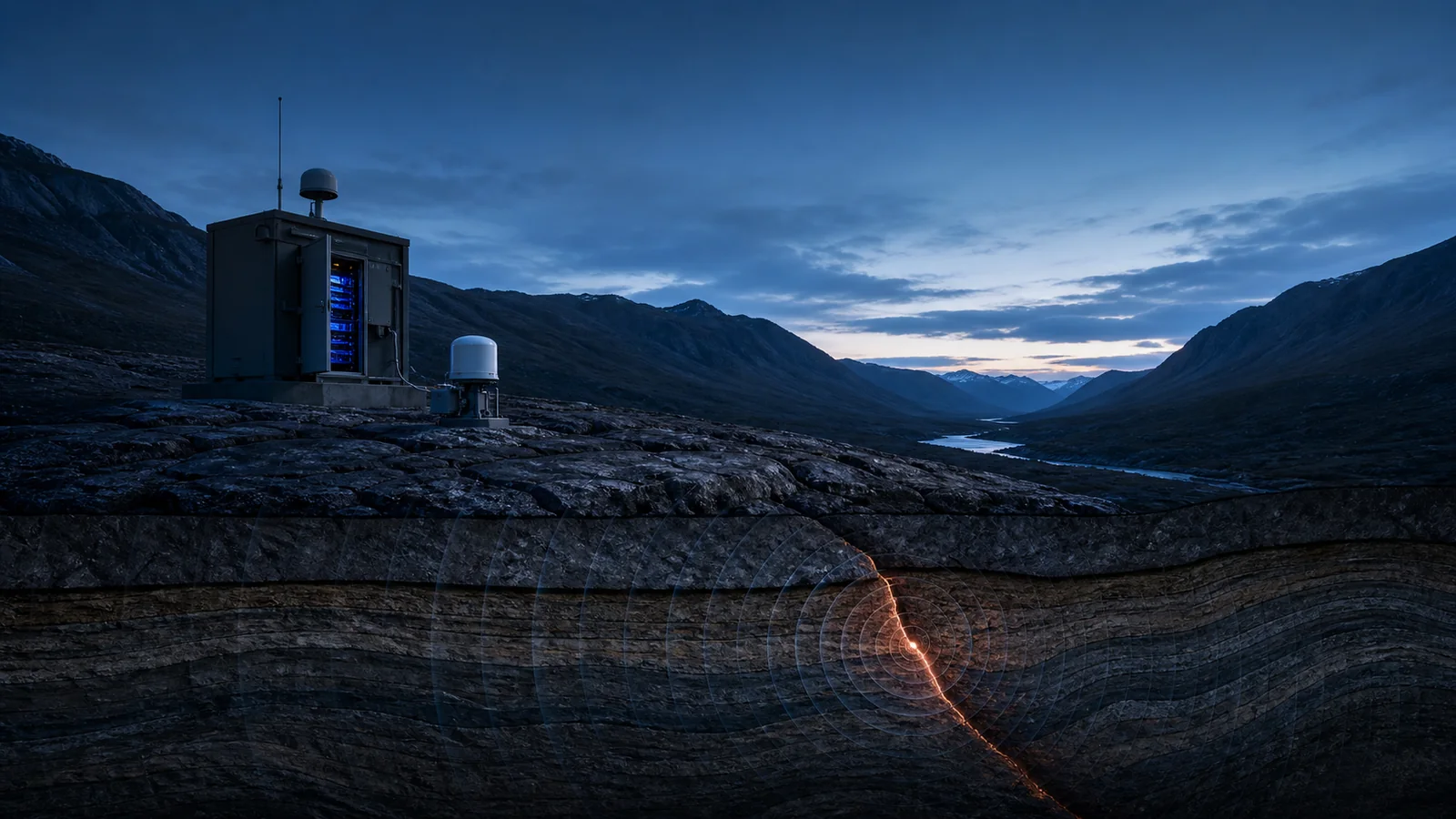
Magnitude: the size of the source
Seismic instruments record ground motion. Analysts use those records to estimate the size of the earthquake, with the magnitude type identifying the method. An event may initially have a preliminary estimate that changes as more measurements and analysis become available. Agencies can publish slightly different estimates without describing different earthquakes.
A magnitude is not a local damage score. When comparing records, retain the magnitude type, event time, depth, source and review status. Read how earthquake magnitude works for the scale itself.
Intensity: shaking at a location
Intensity describes shaking and its observed effects where people and structures are located. Modified Mercalli intensity uses descriptive categories, commonly displayed with Roman numerals. It answers a different question from magnitude: how strongly did this place shake?
Distance, earthquake depth, the path of seismic waves and local ground conditions help explain why the same earthquake feels different across a region. Intensity should always be associated with a location or an explicitly labeled maximum, rather than treated as a second magnitude.
ShakeMap and felt reports provide different evidence
USGS ShakeMap estimates the geographic distribution of shaking by combining available recordings with earthquake and ground-motion information. A colored map is a spatial estimate; it is not a survey confirming damage to every building inside a band.
Did You Feel It? collects public reports of shaking and effects. Those reports add human observations, but coverage depends on participation. An area with few reports should not automatically be read as an area where nothing was felt. Instrument-based estimates and community reports can complement each other while remaining distinct products.
A practical example
Imagine one event marker labeled M5.5. A nearby town and a more distant city can have different shaking intensities even though both refer to that same earthquake. Looking only at the M5.5 label misses the geographic question. Looking only at one felt report misses the wider pattern. This example is illustrative and does not predict shaking for a real event.
How to use the PlanetVexa earthquake view
- Open recent earthquakes and check the event time, magnitude, depth and originating source.
- Follow the source record for available ShakeMap, felt reports and later revisions.
- Keep the event estimate, local shaking and confirmed impacts separate when sharing the result.
PlanetVexa provides explanatory context. Use the responsible local authorities for emergency instructions; an event marker is not an official warning or a building assessment.
Primary sources and further reading
Continue with how earthquakes become data or explore solar flares versus CMEs for another example of measurements that answer different questions.