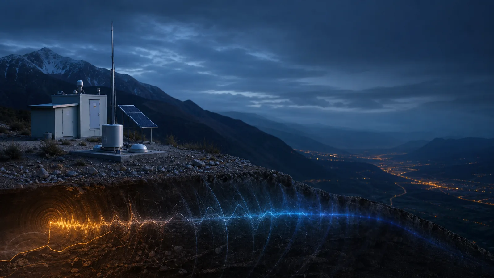
How Earthquakes Become Data
From ground motion at a seismic station to a reviewed location and magnitude: follow the observation chain behind an earthquake point on a map.
Explore recent earthquakesWhat the data really means
Use these four anchors before interpreting the related live visualization.
- Instrument
- Seismometer
- Core observation
- Wave arrival time and ground motion
- Derived outputs
- Origin time, hypocenter and magnitude
- Primary authority
- USGS Earthquake Hazards Program
From evidence to the PlanetVexa view
Each stage changes what can be claimed. PlanetVexa keeps the source record, derived interpretation and visual presentation visibly distinct.
- 01Instrument
Seismometer
- 02Core observation
Wave arrival time and ground motion
- 03Derived outputs
Origin time, hypocenter and magnitude
- 04Primary authority
USGS Earthquake Hazards Program
A signal, not a photograph
An earthquake begins as a rupture below the surface. It releases energy as seismic waves, but the rupture itself is not photographed from above. Networks of seismometers record ground motion as those waves reach different stations. The first usable facts are therefore time series: how the ground moved, when distinct wave phases arrived and how strong the motion was at each instrument.
A single station can show that shaking occurred. Locating the source requires several stations, a model of how waves travel through Earth and an iterative comparison between predicted and observed arrival times.
Location, depth and origin time are solved together
Analysts and automated systems estimate latitude, longitude, depth and origin time by finding the source that best explains the arrival times across a network. The earliest automatic solution can change when more stations report, noisy signals are removed or an analyst reviews the waveforms. A map point is a best estimate with uncertainty, not a direct GPS reading from underground.
Depth matters because it changes the distance waves travel to the surface. Yet depth alone does not determine impact: magnitude, distance, rupture direction, local geology and building vulnerability all contribute to experienced shaking.
Magnitude is calculated after detection
Magnitude is derived from measured wave amplitudes or seismic moment after correcting for distance, instrument response and the scale being used. Different methods can produce slightly different early values. Large events are commonly summarized with moment magnitude because it relates to fault area, slip and rock rigidity and does not saturate as readily as some older scales.
Magnitude and intensity answer different questions. Magnitude describes the estimated size of the source; intensity describes shaking and effects at a particular place. One earthquake may have one preferred magnitude and many intensity values.
Why records are revised
Networks continue receiving waveforms after the first alert. Agencies may add stations, refine velocity models, associate additional phases or replace an automatic magnitude with a reviewed solution. PlanetVexa preserves source time and update time separately so a later revision is visible without implying that the earthquake happened again.
Questions people ask
Can a map locate an earthquake exactly?
No. Location and depth are estimates derived from observations and an Earth model, and both have uncertainty.
Why did the magnitude change?
Additional stations, better signal selection or analyst review can improve the preferred estimate.
Does a larger marker mean more damage?
No. Magnitude is only one factor; distance, depth, local ground and vulnerability strongly affect consequences.
Read the official material
PlanetVexa summarizes these sources in original language and links to the responsible institutions for definitions and operational context.