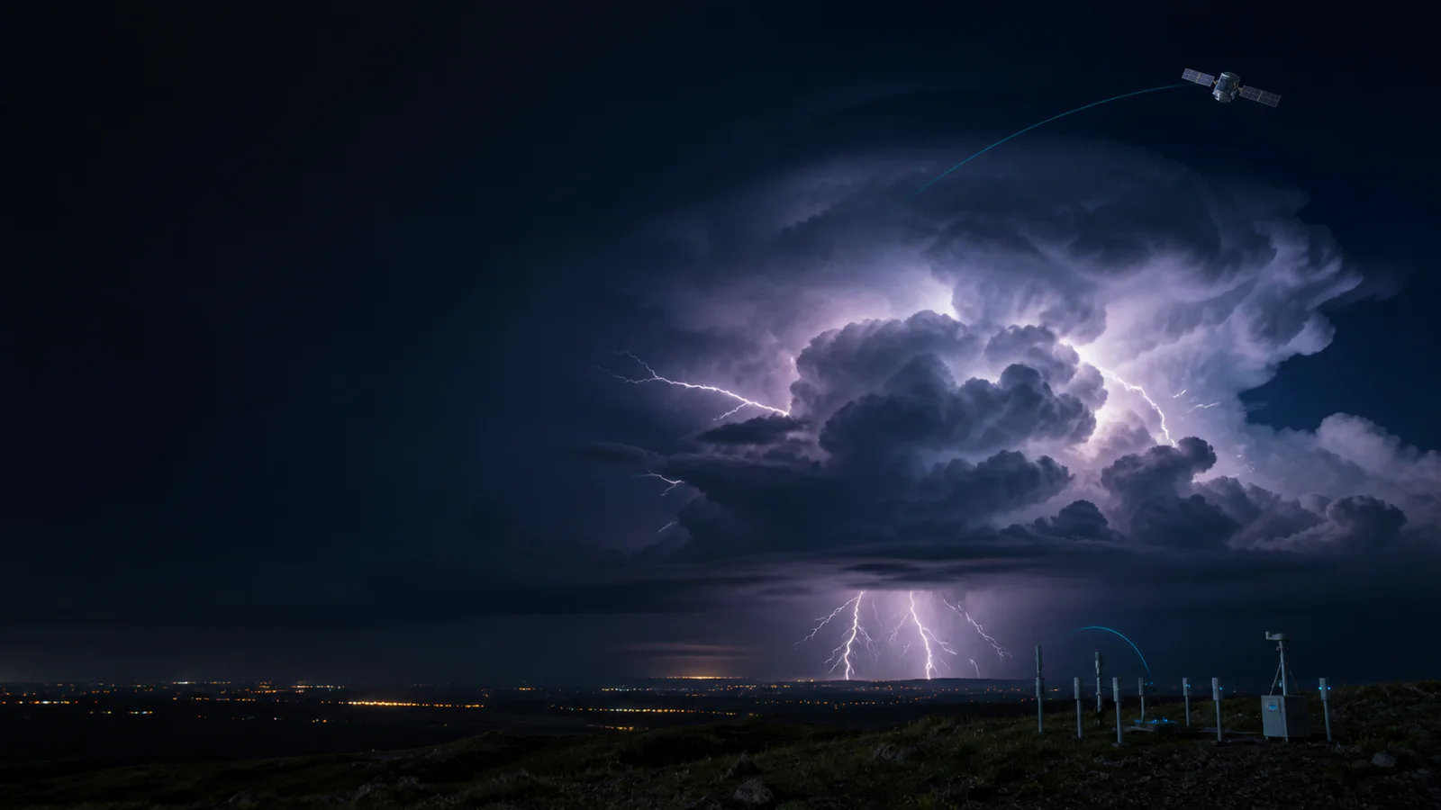
How Lightning Is Detected from Ground and Space
Understand how radio networks and optical satellite instruments turn millisecond electrical discharges into locations, flashes and storm-scale patterns.
Explore severe-weather intelligenceWhat the data really means
Use these four anchors before interpreting the related live visualization.
- Ground networks
- Locate radio emissions with multiple sensors
- Satellite mapper
- Detects brief optical changes at cloud top
- Flash product
- Groups related detections across space and time
- Coverage
- Depends on sensor geometry, efficiency and processing
From evidence to the PlanetVexa view
Each stage changes what can be claimed. PlanetVexa keeps the source record, derived interpretation and visual presentation visibly distinct.
- 01Ground networks
Locate radio emissions with multiple sensors
- 02Satellite mapper
Detects brief optical changes at cloud top
- 03Flash product
Groups related detections across space and time
- 04Coverage
Depends on sensor geometry, efficiency and processing
Lightning produces light and radio energy
A lightning discharge develops through many fast electrical processes inside a cloud, between clouds or between cloud and ground. It emits optical light and radio-frequency energy. Detection systems observe those emissions rather than photographing a complete three-dimensional channel.
A reported point may represent a stroke, an optical event, a grouped pulse or a derived flash. Those terms are not interchangeable, and counts from different networks should not be combined without preserving the product definition.
Ground networks solve locations from several receivers
Radio sensors detect the same emission at different places. Direction finding, time-of-arrival methods or combinations of both estimate a source location. Receiver density, terrain, frequency band, noise and the geometry around a flash influence detection efficiency and location accuracy.
Some systems emphasize cloud-to-ground strokes, while lightning mapping arrays can reconstruct portions of in-cloud development. A network does not necessarily observe every discharge equally across its entire advertised region.
Geostationary satellites map optical lightning
NOAA’s Geostationary Lightning Mapper observes short-lived changes in near-infrared light at cloud top. Processing groups illuminated pixels into events, groups and flashes, providing frequent total-lightning coverage across much of the Western Hemisphere, including ocean regions with fewer ground sensors.
Cloud thickness, daylight background, viewing angle and instrument thresholds affect what is detected. An optical flash footprint shows illuminated cloud area; it is not a precise ground-strike coordinate and does not state where damage occurred.
Trends support storm analysis, not certainty
Rapid increases in total lightning can accompany strengthening convection, so forecasters examine lightning together with radar, satellite imagery, surface observations and numerical guidance. A lightning layer can add timely evidence even where radar coverage is limited.
PlanetVexa keeps detection type, time window, provider and coverage visible. Lightning data do not replace official warnings, and absence of a marker never proves that a location is safe from lightning.
Questions people ask
Is every lightning marker a ground strike?
No. Satellite total-lightning and many radio products include in-cloud activity; the product type must be checked.
Why do two lightning sources show different counts?
They may observe different frequencies or optical signals, use different grouping rules and have different coverage and detection efficiency.
Does no detection mean no lightning occurred?
No. Coverage, thresholds, latency and sensor geometry can create missed or delayed detections.
Read the official material
PlanetVexa summarizes these sources in original language and links to the responsible institutions for definitions and operational context.