How Sea Level Is Measured
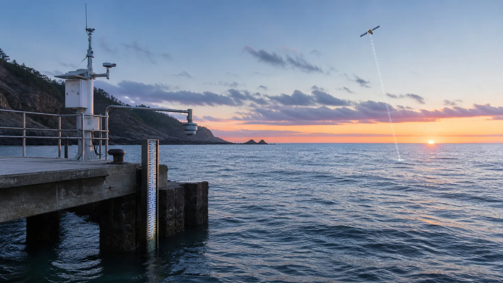
A coastal gauge measures water relative to nearby land; a radar-altimetry satellite measures sea-surface height from orbit. Both require a reference, time scale and uncertainty.
Explore sea-level observationsWhat the data really means
Use these four anchors before interpreting the related live visualization.
- Coastal observation
- Water height relative to a local benchmark
- Space-based observation
- Radar range to the sea surface
- Datum
- Reference elevation for comparing heights
- Trend requirement
- Long, quality-controlled and vertically stable record
From evidence to the PlanetVexa view
Each stage changes what can be claimed. PlanetVexa keeps the source record, derived interpretation and visual presentation visibly distinct.
- 01Coastal observation
Water height relative to a local benchmark
- 02Space-based observation
Radar range to the sea surface
- 03Datum
Reference elevation for comparing heights
- 04Trend requirement
Long, quality-controlled and vertically stable record
A water level needs a zero
A tide gauge measures the height of water relative to a station datum tied to benchmarks on land. Modern stations can use microwave, acoustic or pressure sensors. The value is meaningful only with its station, datum, unit and observation time; “one meter” without a reference surface is incomplete.
Tidal datums such as mean sea level or mean higher high water are statistical reference elevations derived from observations over a defined epoch. They are not the instantaneous water level.
Coastal gauges include movement of the land
A long-term tide-gauge trend is relative sea level: change in the ocean surface combined with vertical movement of the land supporting the benchmark. Subsidence can make local relative sea level rise faster; uplift can reduce or reverse the measured trend even while global ocean volume increases.
Comparing two stations therefore requires attention to vertical land motion, record length, gaps, datum continuity and local ocean dynamics.
Satellite altimetry measures the open ocean differently
A radar altimeter sends pulses toward the ocean and measures travel time back to the spacecraft. Precise orbit determination and corrections for atmosphere, waves, tides and other effects turn that range into sea-surface height. Satellite coverage reveals broad ocean patterns that a coastal station cannot, while tide gauges provide long local records and validation.
A satellite track is a sampled corridor, not a simultaneous measurement of every ocean pixel. Gridded products add processing and interpolation that must remain labeled.
Weather, tides and climate occupy different time scales
Astronomical tides, air pressure, wind, river discharge, currents and storm surge can change water level over minutes to days. Seasonal and interannual variability changes monthly means. Climate-scale trends require long records that separate or average shorter fluctuations and report uncertainty.
PlanetVexa keeps a real-time water-level observation distinct from a tidal prediction, storm-surge forecast and long-term sea-level trend.
Questions people ask
Is a tide-gauge trend global sea-level rise?
No. It is local relative sea level and includes vertical land movement and regional ocean effects.
Why do water-level values use different datums?
Different applications need different reference elevations; values must be converted before direct comparison.
Do satellites replace coastal gauges?
No. Altimetry provides broad ocean coverage, while gauges provide local continuity, coastal extremes and validation.
Read the official material
PlanetVexa summarizes these sources in original language and links to the responsible institutions for definitions and operational context.