How Ocean Currents Are Measured
Follow current speed and direction from drifting instruments, fixed profilers, coastal radar and satellite-assisted analysis to a global map.
Explore ocean currentsWhat the data really means
Use these four anchors before interpreting the related live visualization.
- Current vector
- Speed plus direction
- Eulerian view
- Flow measured at a fixed location
- Lagrangian view
- Motion followed by a drifting platform
- Global surface
- Analysis or forecast constrained by observations
From evidence to the PlanetVexa view
Each stage changes what can be claimed. PlanetVexa keeps the source record, derived interpretation and visual presentation visibly distinct.
- 01Current vector
Speed plus direction
- 02Eulerian view
Flow measured at a fixed location
- 03Lagrangian view
Motion followed by a drifting platform
- 04Global surface
Analysis or forecast constrained by observations
A current is a vector that changes with depth
Ocean current describes water motion with both speed and direction. The surface can move differently from water tens or hundreds of metres below because wind stress, tides, density structure, bathymetry and Earth’s rotation act across different scales. A single arrow needs a depth, time and reference frame to be meaningful.
Knots, metres per second and centimetres per second are all used. Direction conventions must also be checked: an ocean-current vector generally points toward where water is moving, unlike a meteorological wind direction that names where wind comes from.
Fixed instruments profile the passing water
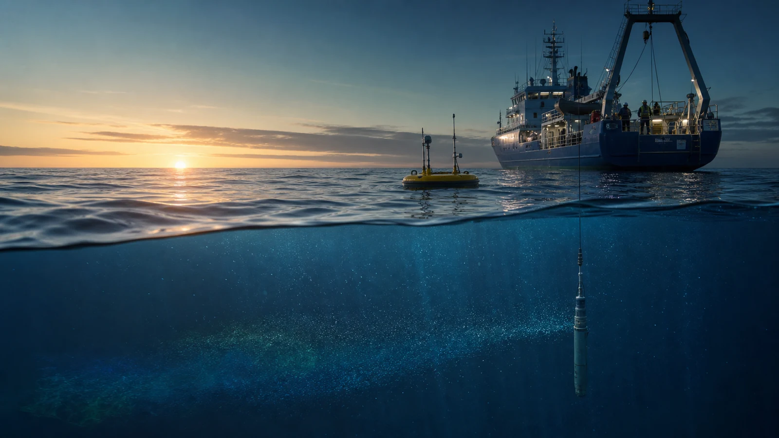
A current meter measures flow at a location. Acoustic Doppler current profilers send sound pulses and use frequency shifts in echoes from particles moving with the water to estimate velocity in multiple depth bins. Instruments can be mounted on the seabed, moorings, vessels or autonomous platforms.
The result is not a photograph of a current. It is a time series or vertical profile shaped by instrument geometry, sampling interval, acoustic conditions, quality control and the platform’s own motion.
Drifters follow the water; radar maps the coast
Surface and subsurface drifters report their changing position, offering a Lagrangian view of transport. Coastal high-frequency radar measures radio backscatter from the sea surface and combines radial velocities from multiple sites into mapped surface-current vectors. Each method samples a different part of the ocean.
Drifters do not remain perfectly attached to one water parcel, and radar coverage depends on shore stations and signal conditions. Data gaps should remain visible rather than being mistaken for calm water.
Satellites and models build the broader picture
Satellite altimetry measures sea-surface height patterns that help constrain geostrophic surface currents. Numerical ocean systems assimilate observations and solve physical equations to provide gridded analyses and forecasts across regions without instruments at every point.
A smooth global field is therefore usually an analysis or model product, not direct measurement at every pixel. PlanetVexa keeps product type, depth, valid time, resolution and freshness visible so an operational-looking map does not overstate certainty.
Questions people ask
Can a buoy measure current at every depth?
No. The instrument configuration defines specific depth bins or sensor levels, and some buoys do not carry current sensors.
Are satellite current maps direct velocity measurements?
Not usually. Satellite sea-surface height and other observations constrain derived or assimilated current fields.
Why can current direction change quickly near shore?
Tides, wind, river flow, waves, coastline shape and bathymetry can combine over short distances and times.
Read the official material
PlanetVexa summarizes these sources in original language and links to the responsible institutions for definitions and operational context.