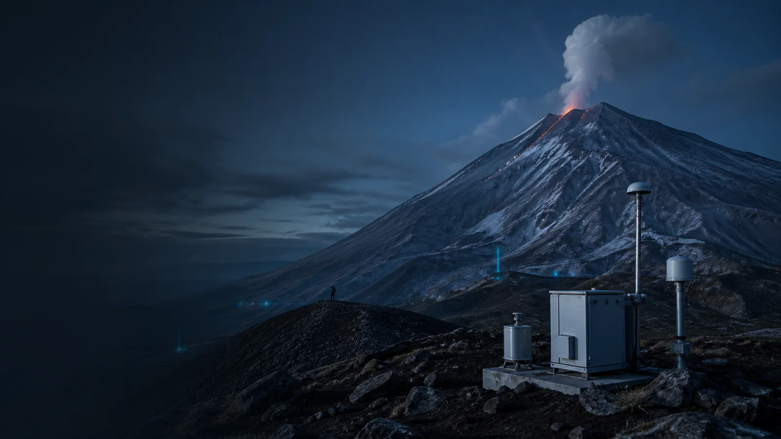
How Volcanoes Are Monitored
Follow seismicity, ground deformation, gas, heat and visual evidence from instruments around a volcano to an official activity assessment.
Explore monitored volcanoesWhat the data really means
Use these four anchors before interpreting the related live visualization.
- Seismic network
- Detects and locates ground vibration
- Deformation
- Tracks changes in the volcano’s shape
- Gas and heat
- Observe material and energy reaching the surface
- Assessment
- Combines several evidence streams over time
From evidence to the PlanetVexa view
Each stage changes what can be claimed. PlanetVexa keeps the source record, derived interpretation and visual presentation visibly distinct.
- 01Seismic network
Detects and locates ground vibration
- 02Deformation
Tracks changes in the volcano’s shape
- 03Gas and heat
Observe material and energy reaching the surface
- 04Assessment
Combines several evidence streams over time
No instrument predicts an eruption by itself
Volcano observatories establish a baseline by watching a volcanic system continuously. Seismometers record earthquakes and volcanic tremor; GNSS stations, tiltmeters and satellite radar measure deformation; gas instruments sample emissions; cameras and thermal sensors document surface change. Each method observes a different part of the system.
A change can be important without proving that an eruption will occur. Tectonic earthquakes, weather, hydrothermal activity, equipment noise and seasonal ground motion can resemble parts of volcanic unrest. Scientists compare multiple signals with the volcano’s history before changing an assessment.
Earthquakes reveal moving rock and fluid
Magma and pressurized fluids can fracture rock or resonate within cracks, producing distinctive seismic signals. A network estimates event location and depth from wave-arrival times, while continuous records reveal changes in rate, energy and waveform character.
A cluster of earthquakes is evidence of subsurface change, not a direct image of magma. Locations retain uncertainty, and similar signals can have different causes. A public map point should therefore preserve the reporting observatory, timestamp and alert context.
Deformation, gas and heat add independent evidence
GNSS and tilt instruments can detect inflation, deflation and rapid slope changes. Interferometric satellite radar compares repeated passes to map broader surface displacement. Gas ratios and emission rates provide clues about magma degassing, while thermal and optical imagery can reveal new vents, hot material or ash.
Cloud, snow, vegetation, viewing geometry and instrument outages can interrupt observations. Gas measurements depend on wind and access; satellite passes are periodic rather than continuous. Missing data must not be interpreted as evidence that activity stopped.
Official alert levels are expert assessments
Observatories combine current measurements, field observations, eruption history and physical interpretation when they publish notices or alert levels. Systems differ between countries, so colors and labels are not universally interchangeable. Updates may change as evidence improves.
PlanetVexa displays source-backed volcano records and their provenance. It does not infer an eruption, ash footprint or safe distance from a marker. Emergency guidance and aviation decisions must come from the responsible volcano observatory and civil authorities.
Questions people ask
Can one earthquake predict a volcanic eruption?
No. Seismicity is one evidence stream and must be interpreted with deformation, gas, heat, history and other observations.
Does a volcano marker show the area at risk?
No. It identifies a reported volcano or event; hazard zones and ash products are separate official products.
Why can an alert level change without an eruption?
Alert levels reflect the current assessment of unrest and uncertainty. Activity may escalate, stabilize or decline as new evidence arrives.
Read the official material
PlanetVexa summarizes these sources in original language and links to the responsible institutions for definitions and operational context.