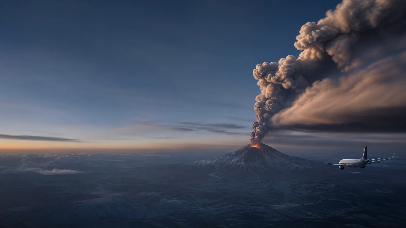
How Volcanic Ash Affects Aviation
Understand why fine rock particles can threaten aircraft far downwind — and why a volcano point, ash advisory and SIGMET must remain separate products.
Explore volcanic-ash intelligenceWhat the data really means
Use these four anchors before interpreting the related live visualization.
- Hazard material
- Fine, hard fragments of rock, mineral and volcanic glass
- Transport
- Eruption height plus winds aloft
- Official products
- Volcano notice, ash advisory, SIGMET and NOTAM
- PlanetVexa role
- Context only — never flight planning
Volcanic ash is not soft combustion ash
Explosive eruptions can fragment magma and rock into hard, abrasive particles. Fine ash may remain suspended and travel hundreds or thousands of kilometres at flight levels. Darkness, cloud and the visual similarity between ash and ordinary meteorological cloud can make avoidance by sight unreliable.
A volcano’s map position identifies the source, not the horizontal extent or altitude of an ash cloud. Distance to the volcano alone cannot determine whether a route or airport is affected.
Aircraft and engines can be damaged
Ash can abrade windscreens and leading edges, contaminate sensors and systems, reduce visibility and enter turbine engines. In hot engine sections, some mineral material can melt and later adhere to cooler components, disrupting airflow and potentially causing loss of thrust. Lower concentrations can still accelerate wear.
The consequences depend on concentration, particle properties, exposure time, engine conditions and operational response. A public visualization cannot convert those variables into a safe route or threshold.
Detection combines ground, satellite and reports
Volcano observatories monitor seismicity, deformation, gas and visual activity near the source. Weather satellites help identify and track ash clouds, while pilot reports and other observations can add evidence. Atmospheric winds and dispersion models support forecasts of where ash may move.
Cloud cover, ice, water vapour, viewing geometry and eruption uncertainty can complicate detection. Forecast polygons and altitude bands are time-dependent products, not permanent exclusion zones.
Official messages have different responsibilities
Volcano Observatory Notices for Aviation describe volcanic status. Volcanic Ash Advisory Centers analyze and forecast ash-cloud information for defined areas of responsibility. Meteorological watch offices issue SIGMETs, and aviation authorities may publish NOTAMs or operational restrictions. These messages are related but not interchangeable.
PlanetVexa places source-backed volcanic events, official aviation-weather geometry and nearby airports in one context while preserving their product types. It never infers an ash plume between a volcano and an airport and must not be used for dispatch, navigation or safety-of-flight decisions.
Questions people ask
Does an erupting-volcano marker show an ash cloud?
No. It marks a source event. Ash extent, altitude and forecast time require a separate official aviation product.
Can ash affect aircraft far from the volcano?
Yes. Fine ash can be transported long distances by winds aloft, so source distance alone is not a safety measure.
Can PlanetVexa be used to plan a flight around ash?
No. It is an informational context surface; operators must use the appropriate official operational products and procedures.
Read the official material
PlanetVexa summarizes these sources in original language and links to the responsible institutions for definitions and operational context.