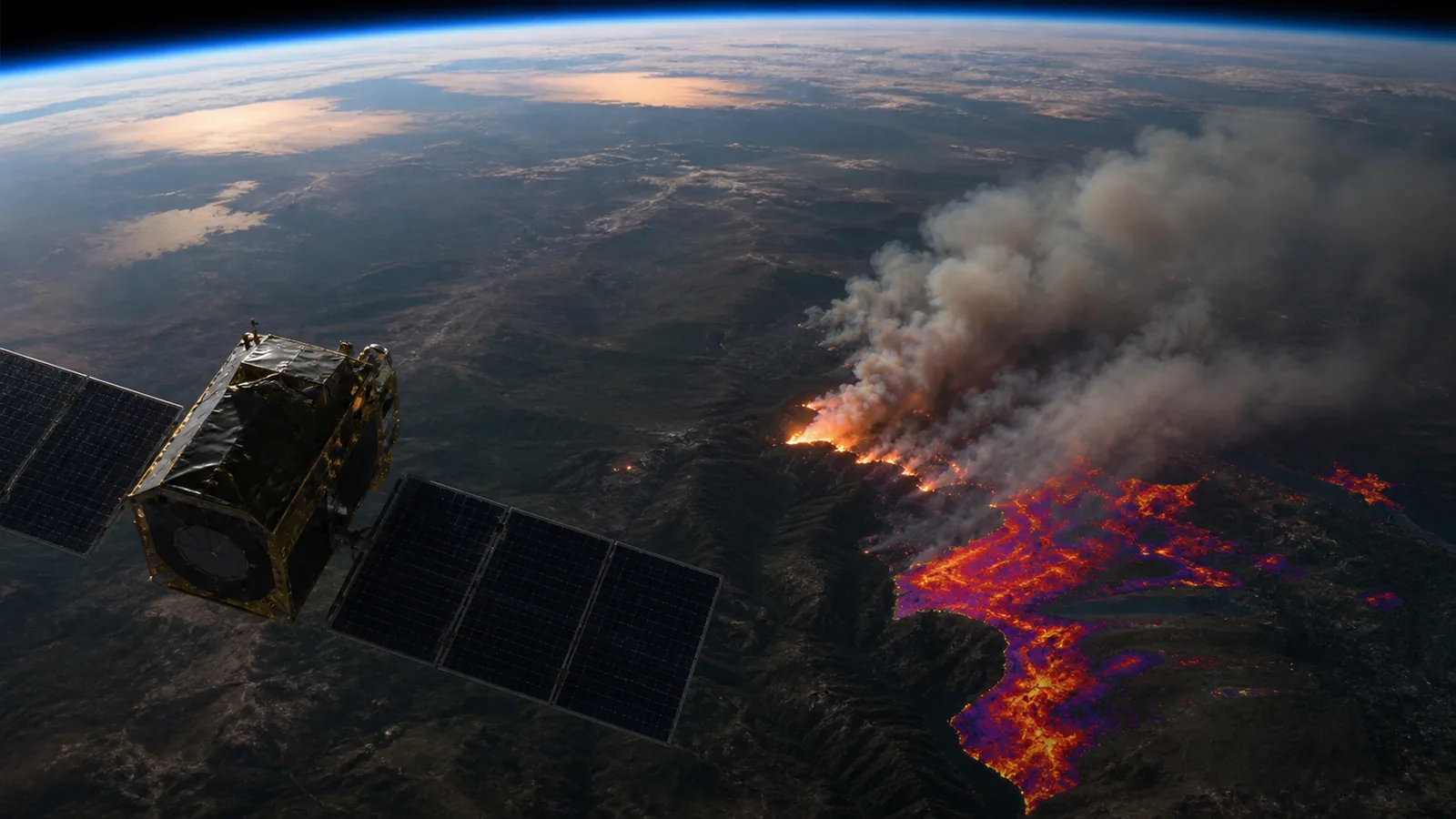
How Satellites Detect Wildfires and Burned Areas
Separate active-fire hotspots, smoke, fire perimeters and later burned-area products — observations that answer different questions at different times.
Explore wildfire observationsWhat the data really means
Use these four anchors before interpreting the related live visualization.
- Active fire
- Thermal anomaly detected at observation time
- Smoke
- Visible or derived atmospheric feature
- Burned area
- Surface change classified after fire
- Key limitation
- Cloud, resolution, revisit time and algorithm uncertainty
From evidence to the PlanetVexa view
Each stage changes what can be claimed. PlanetVexa keeps the source record, derived interpretation and visual presentation visibly distinct.
- 01Active fire
Thermal anomaly detected at observation time
- 02Smoke
Visible or derived atmospheric feature
- 03Burned area
Surface change classified after fire
- 04Key limitation
Cloud, resolution, revisit time and algorithm uncertainty
A hotspot is a thermal signal, not a mapped fire perimeter
Satellite sensors measure energy in several spectral bands. When a pixel is unusually hot in mid-wave or thermal infrared compared with its surroundings, an algorithm can flag an active-fire or thermal-anomaly detection. The coordinate represents a sensor pixel or detection centroid, not the exact edge of flames.
A large pixel can contain fire, cooler vegetation, bare soil and water at once. Sub-pixel fire can still be detected, but the marker must not be interpreted as the physical size of the incident.
Smoke and flame are different observations
Visible imagery can show a smoke plume when daylight, viewing angle and cloud conditions permit. Infrared channels help reveal heat through darkness and some atmospheric interference, but thick cloud can still obscure the surface. A smoke plume can travel far from its source, while a hotspot may be visible with little obvious smoke.
PlanetVexa keeps a point detection distinct from a polygon, official incident report or air-quality measurement. Proximity between layers is context, not proof that one record caused another.
Burned area is measured after surface change
Burned-area products compare spectral behavior through time and classify where vegetation and surface reflectance changed. Shortwave infrared, near infrared and vegetation indices can help distinguish burned surfaces, but cloud shadow, water, harvesting and seasonal change can resemble fire effects. Products therefore include classification or probability rather than perfect ground truth.
An active-fire feed supports rapid awareness; a burned-area product supports later extent and trend analysis. Their dates, resolution and intended use are not interchangeable.
Why detections appear, move or disappear
Orbital revisit, scan geometry, cloud cover, sensor saturation, fire intensity and quality filters determine which observations reach a public feed. Several nearby detections can represent successive scans of one incident, while an official incident may exist without a fresh satellite hotspot. Absence is not evidence that a fire is extinguished.
Operational response requires the responsible emergency and land-management authorities. PlanetVexa visualizes source-backed observations and never infers evacuation, containment or impact.
Questions people ask
Does a hotspot marker show the size of a wildfire?
No. It represents a thermal detection associated with a sensor pixel or derived coordinate, not an official perimeter.
Can satellites see fire through clouds?
Some infrared observations work at night and through limited atmospheric interference, but cloud and smoke can still reduce or block detection.
Is burned area the same as active fire?
No. Active-fire products detect heat near observation time; burned-area products classify later surface change.
Read the official material
PlanetVexa summarizes these sources in original language and links to the responsible institutions for definitions and operational context.