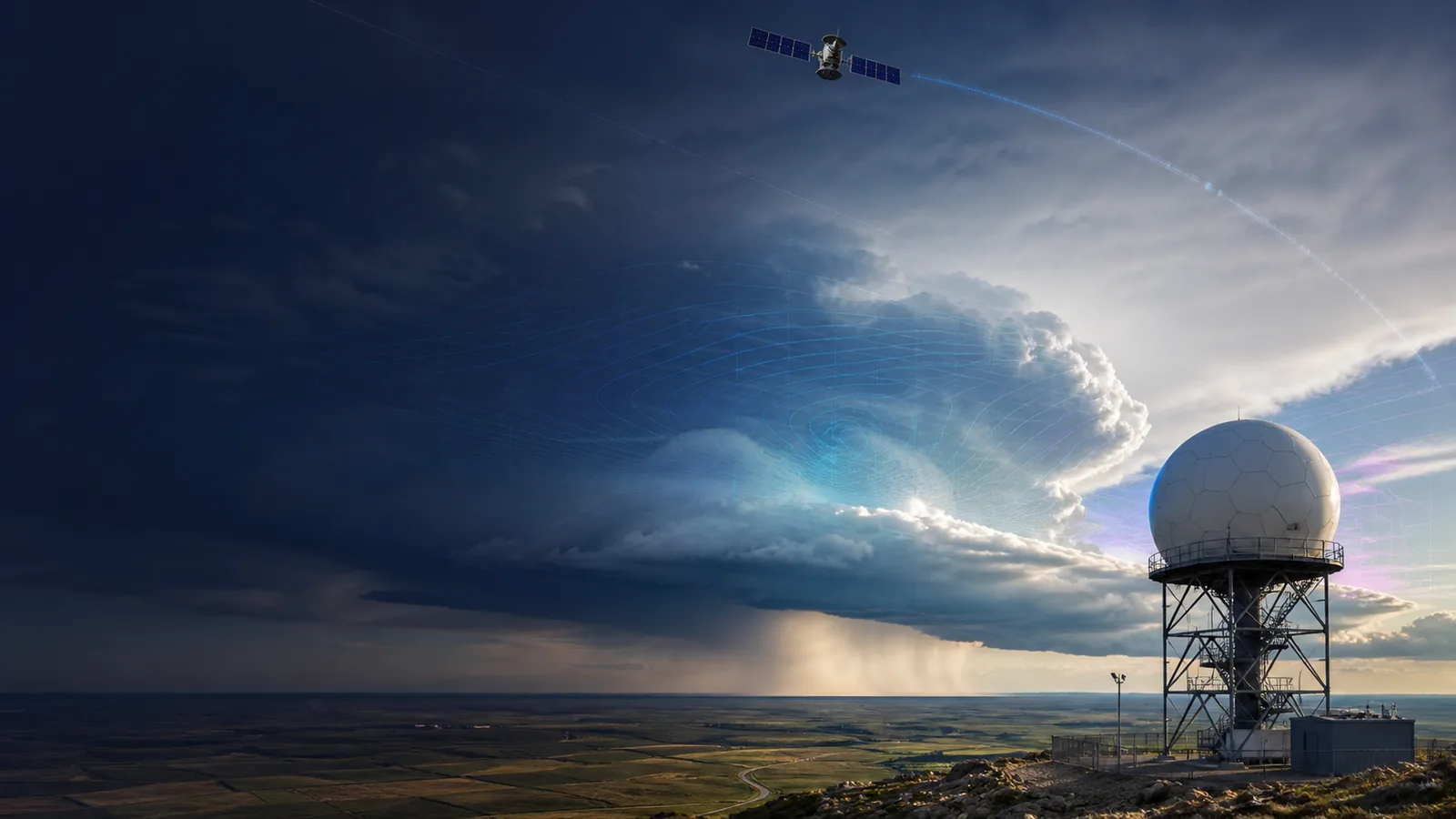
Radar, Satellite and Forecast Models Are Not the Same
Learn what each weather layer actually represents, why their timestamps differ and how forecasters combine observations with numerical guidance.
Open weather intelligenceWhat the data really means
Use these four anchors before interpreting the related live visualization.
- Radar
- Remote observation near the instrument
- Satellite
- Remote observation from orbit
- Model
- Numerical estimate of atmospheric evolution
- Official warning
- Authority-issued decision product
From evidence to the PlanetVexa view
Each stage changes what can be claimed. PlanetVexa keeps the source record, derived interpretation and visual presentation visibly distinct.
- 01Radar
Remote observation near the instrument
- 02Satellite
Remote observation from orbit
- 03Model
Numerical estimate of atmospheric evolution
- 04Official warning
Authority-issued decision product
Radar samples energy returned to the instrument
Weather radar sends pulses and measures energy scattered back by precipitation and other targets. Reflectivity can indicate where hydrometeors are present and how strong the returned signal is; Doppler velocity estimates motion toward or away from the radar. Neither field is a direct photograph of rainfall at the ground. Beam height, distance, blockage, attenuation and non-weather echoes all matter.
A radar timestamp is the observation time of a scan or composite. Animation shows successive observations; it is not automatically a forecast.
Satellites observe radiation from above
Weather satellites measure reflected sunlight and emitted infrared or microwave radiation. Visible imagery reveals cloud texture during daylight. Infrared channels estimate radiative temperature and work day and night, while water-vapor and microwave products expose different atmospheric layers or properties. A bright or cold cloud top is not by itself a measured surface rain total.
Satellites provide broad coverage over oceans and remote regions where surface instruments and radars are sparse. Products may be direct radiance measurements or algorithms derived from several channels, so the product label matters.
Models calculate a possible future atmosphere
Numerical weather prediction starts from an analyzed atmospheric state built from many observations. Equations describing fluid motion, thermodynamics and physical processes are solved on a three-dimensional grid. Output has a model initialization time and one or more valid times. Those are different from the observation time shown on radar or satellite imagery.
Models have finite resolution and approximate processes smaller than their grid. Comparing multiple runs and ensembles helps reveal uncertainty; agreement does not turn guidance into an observation.
Warnings add expert and institutional judgment
An official watch, warning or advisory is not another sensor layer. It is an authority-issued product based on evidence, forecasts, thresholds and local responsibility. PlanetVexa keeps those products labeled as official-only rather than inferring warnings from colorful imagery or model values.
Questions people ask
Is radar a rainfall forecast?
No. A radar scan is an observation; extrapolation or model guidance is needed to estimate future conditions.
Does satellite imagery show rain reaching the ground?
Not necessarily. Satellite channels observe radiation and cloud properties, and derived precipitation products retain algorithmic uncertainty.
Why do model runs disagree?
They can start from different analyses, resolutions and physics, and small initial differences can grow over time.
Read the official material
PlanetVexa summarizes these sources in original language and links to the responsible institutions for definitions and operational context.